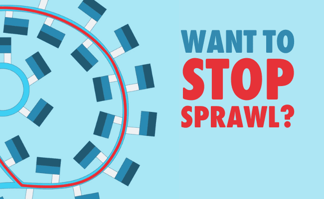
WHAT IS THE BIG SPRAWL?
Large swathes of Ontario’s best farmland, most vital natural heritage, and most beautiful rural landscapes, are at risk of being swallowed up by car-dependent sprawl.
WHAT IS THE BIG SPRAWL?
SAY NO TO SPRAWL FREE FOR ALL
While the Ontario government is scrambling to railroad municipalities into locking in sprawl, it cannot force them to finalize their new boundaries until July 1st, 2022 – after the next election.
Say no to Sprawl free for all
FIGHT THE BIG SPRAWL LOCALLY
Though the Big Sprawl is meant to railroad municipalities into expanding outwards, the actual policy documents do not succeed in mandating it.
FIGHT THE BIG SPRAWL LOCALLY
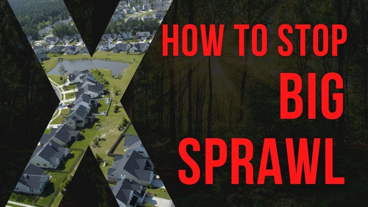
The Big Sprawl
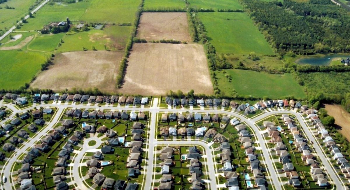
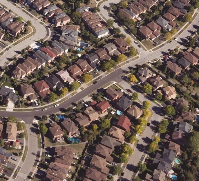
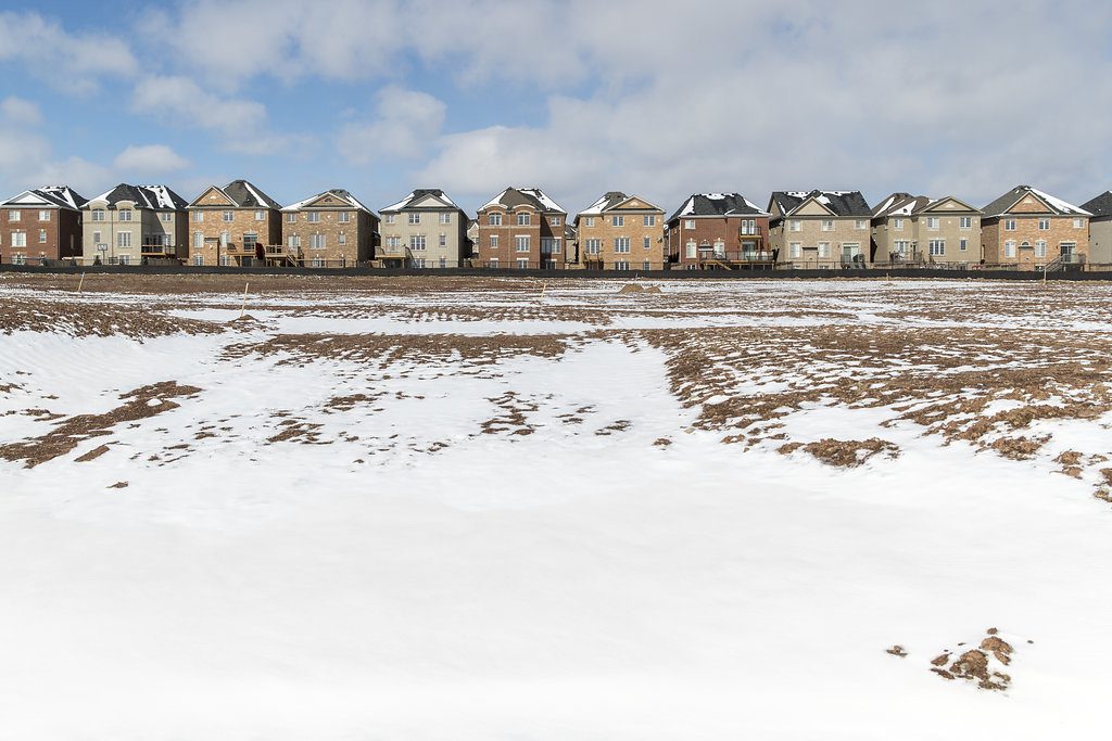
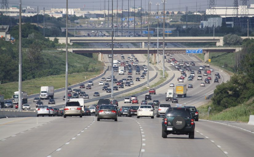
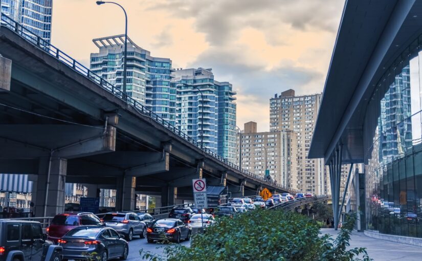
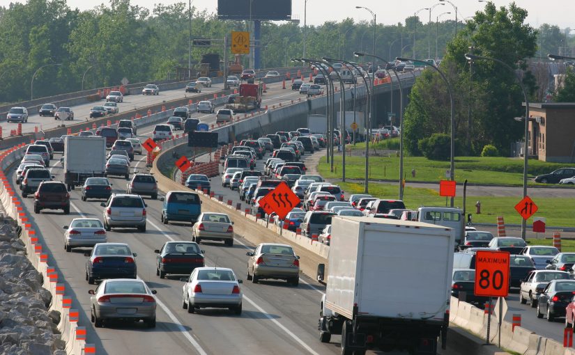
Since 2019, the Ontario government has pursued THE BIG SPRAWL, a set of efforts to enrich a small group of politically well-connected land developers by pushing suburban sprawl onto Ontario’s surviving farms, forests and wetlands.
In October of 2022, when the Ontario government revealed shocking plans to directly force outward sprawl upon municipal governments - and strip protection from vital Greenbelt lands that are supposed to be permanently off limits for sprawl.
Unless we stop it, THE BIG SPRAWL will destroy green space, worsen urban flooding, waste millions in extra infrastructure costs, prevent us from meeting our climate change targets, and squander the millions of new homes and workplaces that are our last best chance to repair the post-war suburbs Ontario is saddled with already.
See below to find out more about THE BIG SPRAWL and how you can help fight it.
Map of GTHA Development Land
Ontario has designated more than enough land to build new homes without touching the Greenbelt.
The map below shows the different land designations in the Greater Toronto and Hamilton Area (GTHA).

WATCH THE HOW TO STOP BIG SPRAWL WEBINAR
LATEST NEWS
JOIN THE COMMUNITY