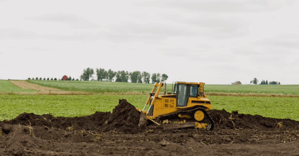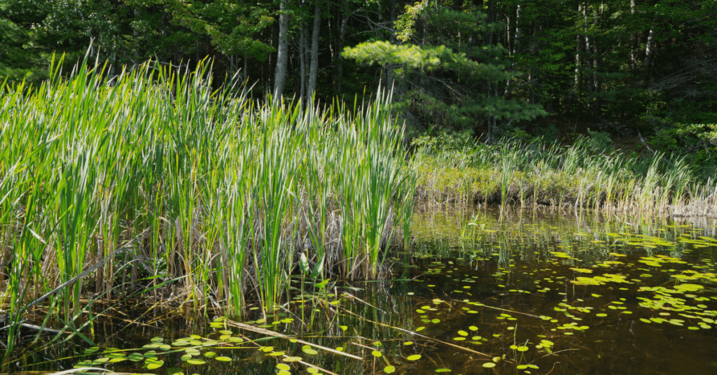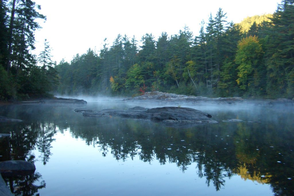

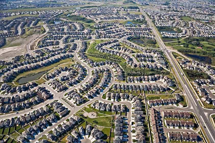
Across the Greater Golden Horseshoe Area, Ontarians have been fighting tooth and nail to resist The Big Sprawl, a provincial push to railroad municipalities to turn huge swathes of Ontario’s remaining farmland, forests and natural areas into 30 more years of wasteful, car-dependent sprawl that will make land speculators and sprawl developers rich.
The Big Sprawl is looming because the province’s updated Growth Plan for the Greater Golden Horseshoe, 2020 mandates that 81 per cent of population growth in the region be pushed into suburban areas where it will be much more difficult to accommodate sustainably. However, there’s good news for Ontarians who want to fight The Big Sprawl – there are loopholes and ambiguities in one of the main provincial planning instruments (the Land Needs Assessment Methodology for the Greater Golden Horseshoe, 2020) which mean that the province has failed to directly mandate settlement area boundary expansion. In other words, regions and counties don’t have to develop on farmland and natural areas.
These ambiguities mean that it is regional and county councils – not the Land Needs Assessment Methodology, not consultants, and not staff at the Ministry of Municipal Affairs – who can decide whether to give in to more outdated sprawl, or protect their surviving countryside and invigorate communities by accommodating their growth allocations within existing neighborhoods.
Because it is technically permissible to avoid sprawl, the success of the province’s Big Sprawl scheme hinges upon the peddling of misinformation about what the Growth Plan and the Land Needs Assessment Methodology require.
Your Region Can Lawfully Choose Not To Sprawl
See all the opportunities to fight the Big Sprawl in your region
In order to exit the highway which leads to The Big Sprawl in your community, you must first build an off-ramp. You will need to show your regional council and regional planning staff that they can choose alternatives to sprawl.
If you live in regions like Peel, York Region, Durham or in Simcoe County, the Land Needs Assessment analysis has been presented to your local government as if it were a done deal – a largely mechanistic process, wherein objective data, as well as mandatory projections prescribed in the growth plan, are fed into the methodology, and a single “right” assessment of land need is arrived at. This false impression has been reinforced by the fact that the provincial government and almost all municipalities have “contracted out” their land needs assessment to one of a very small group of closely-connected firms, which tend to treat their own erroneous and outdated assumptions as though they were part of the methodology, and then to hand City staff a single “right” answer which reflects those assumptions.
In Hamilton and Halton, concerned residents have already persuaded their regional councils to develop alternatives to expanding settlement area boundaries, and to consult the public on those alternatives before any final decision is made. They’ve done this by demonstrating that, despite the province’s intentions and the approach taken by consultants, the Land Needs Assessment Methodology for the Greater Golden Horseshoe (2020) and the Growth Growth Plan for the Greater Golden Horseshoe (2020) do not succeed in depriving regional and single-tier governments of their authority to avoid outward expansion and grow within their existing boundaries instead.
Municipal governments are entitled to forgo further sprawl because the analysis at each of the 10 stages in the Land Needs Assessment Methodology hinges either upon variables that are highly uncertain or else upon inputs that are within the control of municipalities. An appropriate Land Needs Assessment should:
- Include for each input or variable (e.g., age ratio or average number of people per household) the full range of possible input scenarios, and identify the municipal policy levers that could be used to modify and shape those inputs (e.g., how to speed the construction of more housing in existing neighborhoods)
- Include for each stage of the process the full range of possible outcomes resulting from the interaction of these uncertain or chosen inputs.
It is important to remember that it is the role of a Regional Council, rather than its consultants, to consult the public on the land needs alternatives, and to select which among the wide band of plausible estimates of future land need should be chosen. While consultants may express views as to how age distributions or other variables should be estimated, it is inappropriate to treat those views as authoritative in any way, Likewise, it is entirely inappropriate to treat the statements of Ministry staff themselves as authoritative when interpreting a Region’s obligations. Here’s why:
- Legally, they do not form part of the Government Methodology or the Growth Plan.
- Recent events have demonstrated that what government planning measures (e.g.the recent lower Duffins Creek wetland MZOs) actually do, and what the present government wishes they would do, are two very separate things.
- The past population projections of the Government’s consultants have been notoriously bad, and its entire growth planning process is now being audited by the Auditor General.
There are many points of uncertainty and many available policy levers available to regional councils that provide the grounds to justify and the means to facilitate a decision to accommodate their future growth within their existing settlement area boundaries.
However, the following are of particular note. Please click on the link for an explanation of each item.
Part 2: The future number of households is uncertain
Part 3: Future housing preferences are uncertain and driven by policy