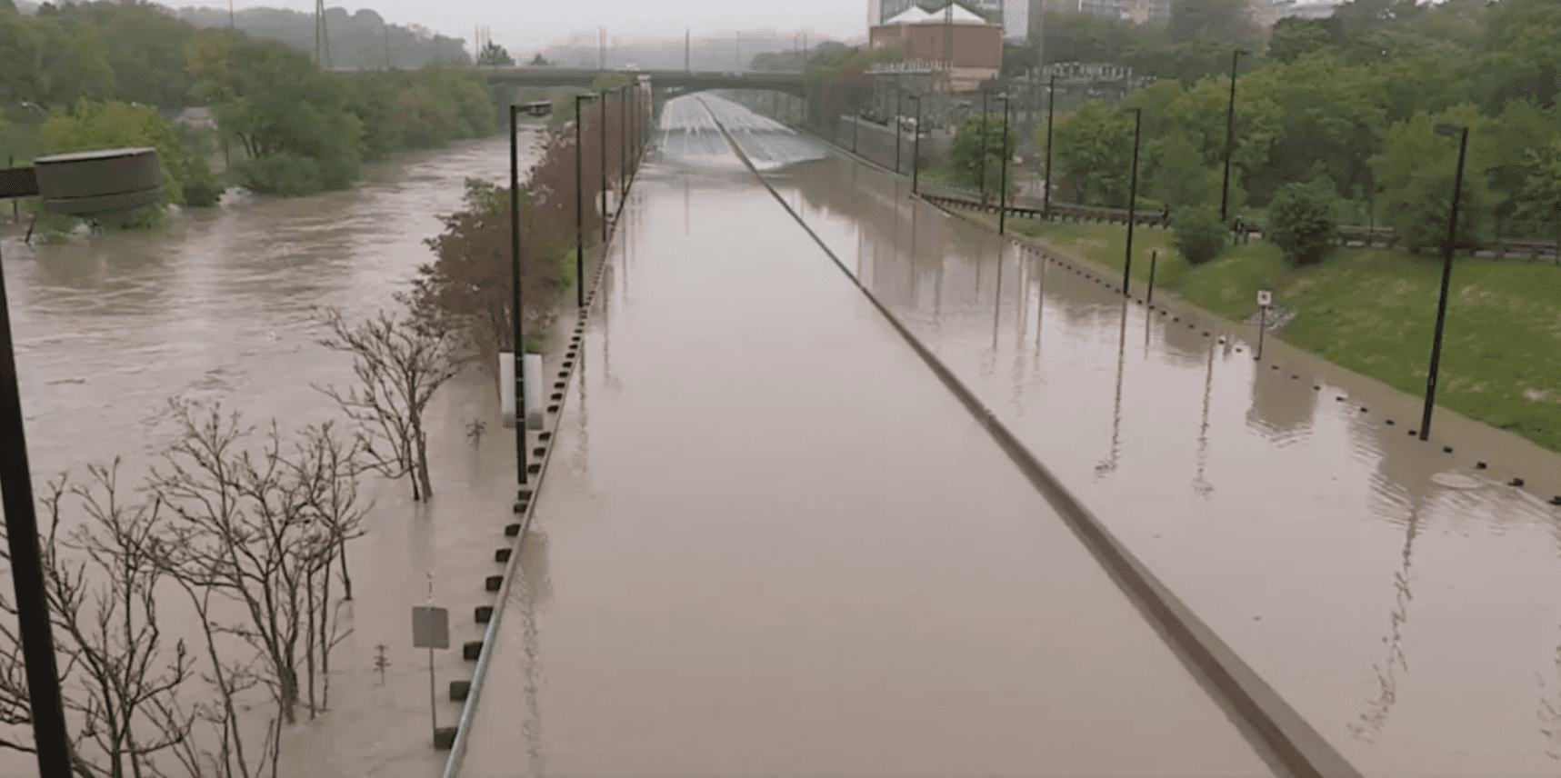

Last week, Toronto experienced another “100 year storm” just 11 years after the previous one in 2013. The city saw some of the worst flooding caused by torrential rainfall that surpassed the daily record from 1941. The storm caused widespread power outages and shut down major traffic routes such as the Don Valley Parkway, as vehicles were submerged in a cocktail of rain and sewage water.
So why exactly did this happen?
There’s obviously a number of reasons for why this happened. Yes, the extreme rainfall likely owes something to climate change, but another key factor contributing to the flash flood is the destruction of critical natural areas.
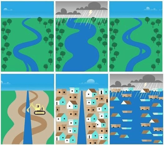
For decades Ontario has been paving over natural areas – like wetlands – that are naturally designed to absorb rain water and prevent something like this from happening. Since the 1950s, this province has chosen to pave over almost the entire headwaters of the Don River – from North York to Vaughan, Markham and King City – transforming it into car-dependent sprawling developments. By converting hundreds of acres of natural green space into large swaths of pavement, we have destroyed the absorption ability of the natural landscape which leaves rain water with nowhere to go.
How can we prevent future flooding?
The bad news is that this will most likely happen again. This is especially concerning now that even more of those essential spaces are being put at risk by Premier Ford’s incessant highway and sprawl agenda.
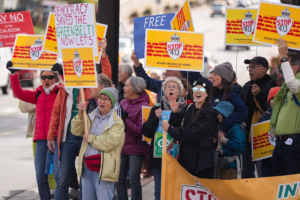
Unless we cancel schemes like Highway 413 and focus on building new homes and workplaces in existing built up areas rather than sprawl, more farms, forests, and wetlands will be paved over and we will see more severe flooding in the future.
Take action today to stop the destructive Highway 413 and accompanying sprawl. Help prevent another 100 year flood from happening in the next decade. Send a letter to your local MP.