Ontario could deliver the next 30 years of GTHA homes and workplaces while using just a portion of the 350 km2 of GTHA lands that were approved for development before 2022
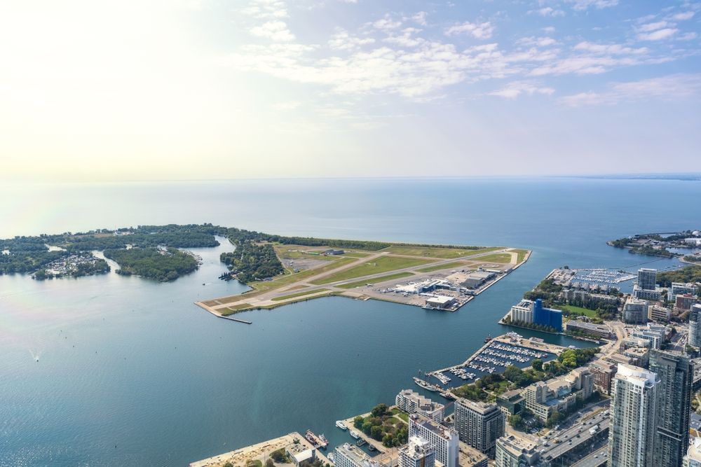
Toronto | Traditional territories of the Mississaugas of the Credit, the Anishinaabeg, the Haudenosaunee, and the Huron-Wendat – New expert mapping and GIS analysis reveals that even prior to the provincial government’s recent push to force suburban boundary expansions, Ontario’s Greater Toronto and Hamilton Area (GTHA) had more than 350 km2 of previously designated, but unused, land for new suburban housing and business premises. This figure was determined by combining information from official documents from the province and the GTHA’s six regional municipalities with transposition of recent satellite photographs that document how much land has actually been built.
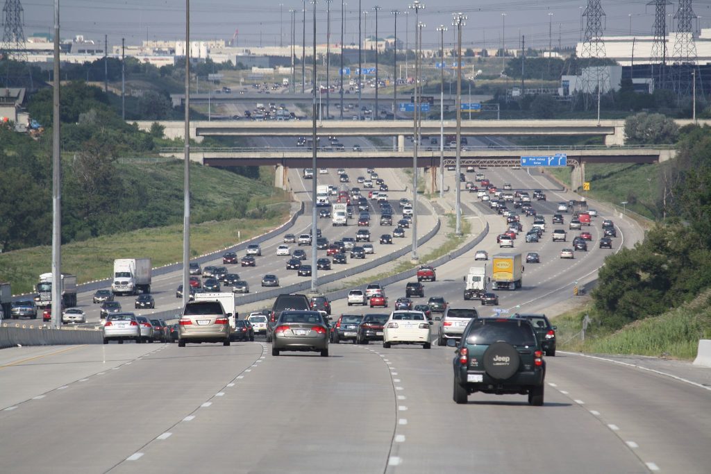
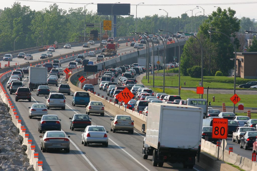
This amount of land far exceeds the approximately 150km2 that will actually be required to build “greenfield homes” (i.e., homes outside of existing neighbourhoods and built up areas) over the next 30 years. This shows that the Ontario government’s recent decision to force suburban regional and city governments to expand their boundaries even further outwards has created a massive land oversupply – a total of roughly 590 km2 – at the expense of farms, forests and wetlands.
The total inventory of “greenfield” land supply in the GTHA conclusively discredits the Ontario government’s argument for stripping protection from key areas of the Greenbelt and raises renewed questions about what is actually motivating the onslaught of measures that have marked large areas of previously-protected farmland and natural areas for destruction.
“Whatever the present Ontario government’s real reasons may be for stripping protection from the crown jewels of the Greenbelt and trying to push sprawl onto wetlands, floodplains and even more prime farmland, this mapping analysis shows that increasing housing supply and affordability is not the motive,” said Phil Pothen, Ontario Environment Program Manager.
Environmental Defence’s analysis also demonstrates how much less land could be used with even modest efforts to create livable, transit-oriented communities instead of encouraging car-dependent sprawl. While the Ontario government’s own targets for population growth outside of existing built up areas up to 2051 would see roughly 1.5 million residents (of a total 3.0 million projected new suburban GTHA residents) pushed into new “greenfield” subdivisions, simply developing the pre-2022 supply of designated land at the same, modest densities as the former City of Toronto would house more than 2.5 million people, even if land for workplaces is factored in and natural areas, such as woodlots, ravines and wetlands, are kept off limits.
This new mapping and analysis adds value to earlier reports created by the regions’ professional planning staff, which evaluated land supply based solely on tabulations of lands that were already approved for development.
“Beyond the GTHA land supply figures, which are staggering, our analyses reveal how many people the land designated for development could house if it was developed responsibly. As long as we build homes in a way that supports public transit, walkability, and access to services, the GTHA would consume less land than had already been set aside for growth before any urban boundary expansions were imposed by the province,” said Pothen.
See the map and find out more here.
ABOUT ENVIRONMENTAL DEFENCE (environmentaldefence.ca): Environmental Defence is a leading Canadian environmental advocacy organization that works with government, industry and individuals to defend clean water, a safe climate and healthy communities.
– 30 –
For more information or to request an interview, please contact:
Brittany Harris, Environmental Defence, media@environmentaldefence.ca