
I know it’s a cliché but our rivers are the lifeblood of our existence. It’s not possible to over-emphasize the ecological, historical, cultural, and economic importance of Canada’s major rivers.
Consider the Ottawa River and the land that drains into it. For millennia, members of the Algonquin nation have hunted, fished, and gathered along the entire length of the Ottawa River. The Rideau canal was built almost 200 years ago to bypass the Rideau rapids and allow goods to be traded by boat. Today, tens of thousands of tourists come to the capital region to paddle, fish, and explore the many rivers that make up the Ottawa River watershed.
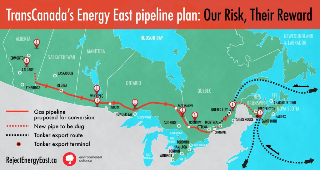
All of this is at risk so that tar sands oil can travel over 3,000 km from Alberta to an export terminal in New Brunswick. Even worse, Trans Canada, the company that proposes to build Energy East, which will be Canada’s longest and largest pipeline, doesn’t know and won’t be studying the risks that an oil spill would have on our precious rivers. As evidenced by a report that Environmental Defence, Équiterre, and the Manitoba Energy Justice Coalition published last week, TransCanada either won’t or can’t tell Canadians how some major rivers – including the Ottawa River – will be crossed.
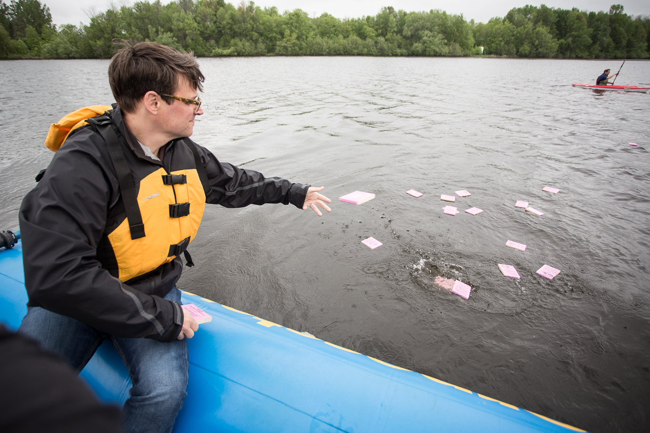
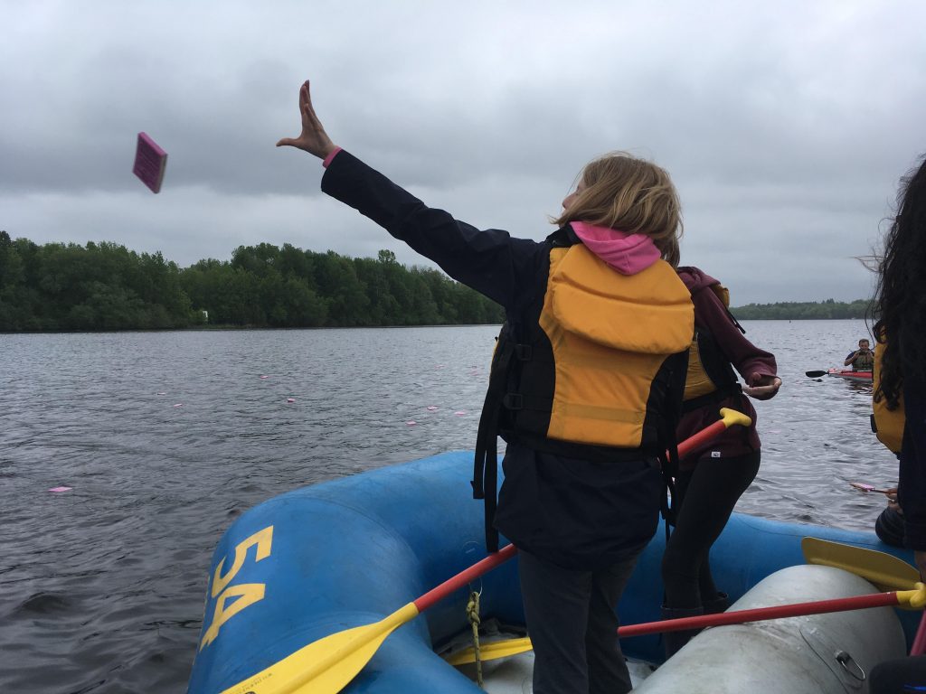
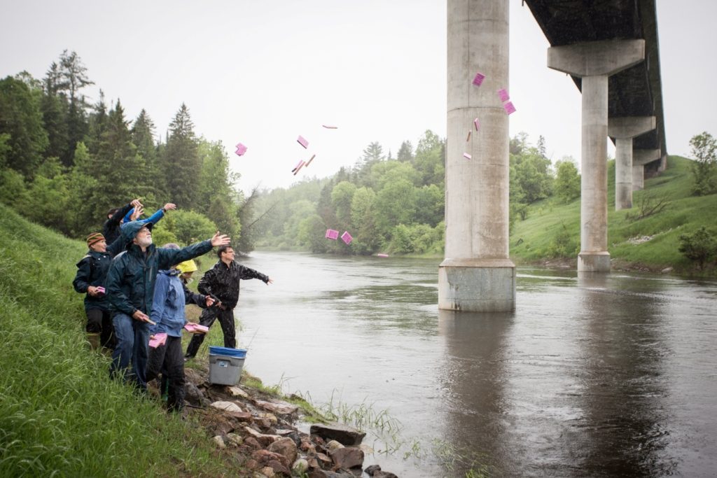
That is why Environmental Defence is working with local partners to undertake research to better understand the risks of an oil spill in our waters. The study is fairly simple: we release wood drift cards in three major water systems where the Energy East pipeline will intersect them. These wood cards then drift along natural currents, just as spilled oil might. When someone finds a drift card, they log where and when it was found, and we combine this information over time to learn how far an oil spill from Energy East might spread, how quickly areas will be affected, and where oil might accumulate. A spill map will be created in each of these three regions.
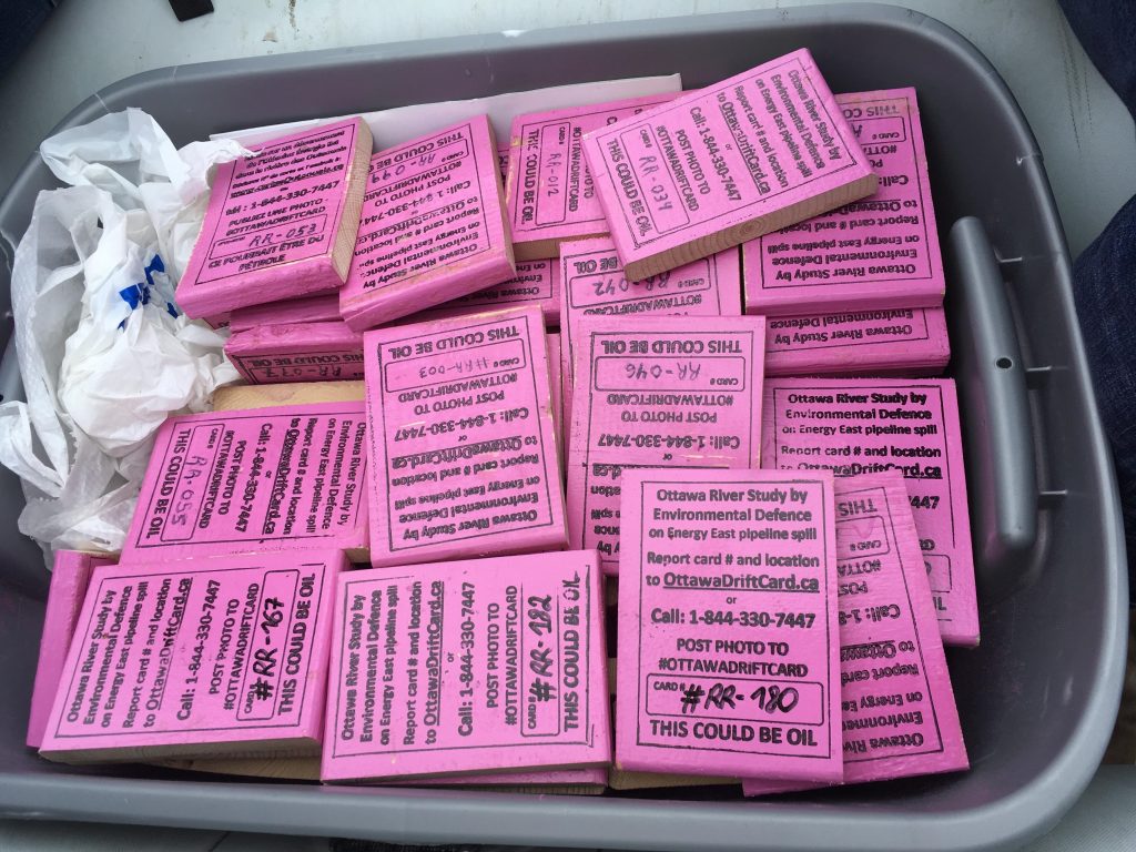
The first drift card drop happened yesterday, on the Rideau and Bonnechere Rivers, both of which flow into the Ottawa River. Later this month, cards will be dropped in the Winnipeg River, which flows out of the Lake of the Woods near Kenora, on the Ottawa River itself near Pointe Fortune, Quebec, and in the Bay of Fundy near Saint John, where the oil export terminal will be located.
These different studies are not intended to be comprehensive. After all, nearly 3000 lakes, rivers, and aquifers will be crossed by Energy East. But at least, we will better understand the risks faced in these iconic places. Over the coming days and weeks, you can check out the Ottawa River drift card map at www.OttawaDriftCard.ca as more and more cards are found and reported. Later in the month, drift card maps will be created for the Winnipeg River and the Bay of Fundy.
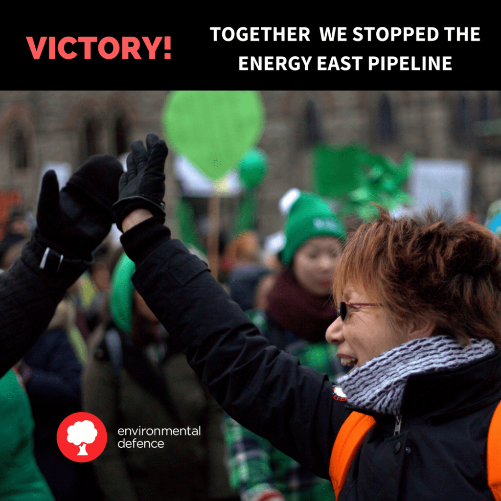
If the results of the drift card study concern you, tell the federal government to reject the Energy East pipeline.