This is a guest blog written by Bonnie Littley
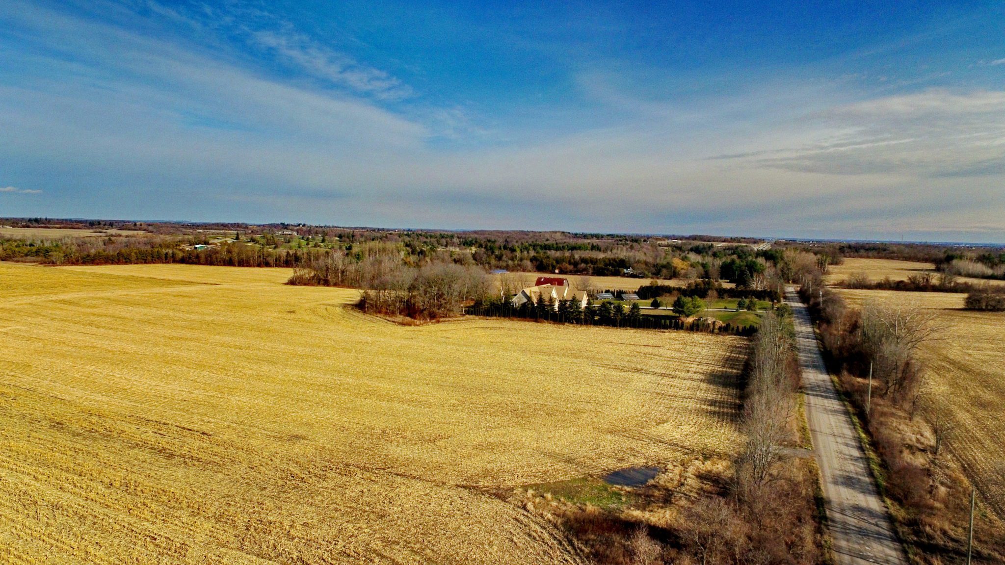
The Duffins Rouge Agricultural Preserve – locally known as DRAP – is the Crown Jewel of the Greenbelt. It is 4,700 acres of mainly class 1 farmland interwoven with rare carolinian habitat on agricultural soil north of Pickering, nestled between Duffins Creek and the Rouge National Urban Park (RNUP).
Not only does the DRAP protect some of the most valuable agricultural land in all of Canada – it supports the ecological integrity and agricultural systems of the adjacent RNUP and protects features and functions associated with the Petticoat Creek and Duffins Creek watersheds.
The DRAP is invaluable because it’s irreplaceable.
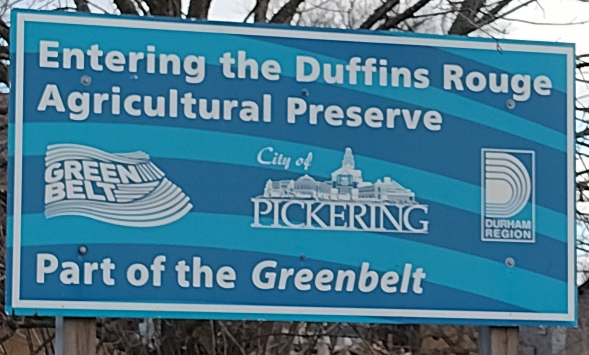 For more than two decades, the Rouge Duffins Greenspace Coalition (RDGC est. 2000) has been extensively involved in preserving lands in Pickering, Scarborough and Markham. Specifically, the DRAP, Rouge Park lands, Seaton and Airport lands with our “Link the Lake to the Moraine” campaign.
We are a group of many individual citizens, residents and environmental groups advocating sustainable, eco-based urban planning and preservation of farmland and greenspace for present and future generations.
A quick history:
1972: Agricultural lands in Pickering and Markham were expropriated by the Province not long after the federal government’s expropriation of nearby lands in north Pickering.
1993: The Ontario government announced its intent to declare 12,000 acres of the Rouge Valley a natural heritage park and an adjoining 8,000 acres as an agricultural preserve (this included the Markham portion, some of which would eventually be developed). The east side of Duffins Creek, provincial public lands known as Seaton, would be available for future development.
1995: The Conservatives were in power and decided to permanently protect the agricultural status of Pickering agricultural preserve lands by not selling any of the development-related property rights to farmers and tenants when land title is transferred.
Years of planning documents and studies supported maintaining the lands as agricultural. The province released the North Pickering Project, 1975, the Seaton Planning and Design Exercise, 1994, the City of Pickering’s Rural Study, 1997 and the Central Pickering Development Plan, 2006.
1999: The City of Pickering, the Region of Durham and the province signed a legal agreement, known as a Memorandum of Understanding, with the clear intent of ensuring continued and permanent agricultural and natural use by not selling any of the development-related property rights to farmers and tenants when land title was transferred to farmers. The agreement kept rights, other than rights to agricultural or natural use, permanently out of private hands by registering agricultural easements in perpetuity, and binding to all future owners of the property, on title. The limited package of rights conveyed to farmers is reflected in extremely low prices – approximately $4000/acre.
Beginning shortly after, these agriculture-only parcels began to be purchased by companies that supposedly act as the landlords for tenant farmers. However, a Narwhal/Star analysis revealed that the companies that owned 24 of the properties in the preserve actually listed Silvio De Gasperis – a well-known real estate speculator and sprawl developer – as a director. These portions of the DRAP were purchased by those firms for a mere $8.6 million combined – vastly less than their cost as land open for development.
2005: The Conservatives and New Democrats united with the Ontario Liberal Government to include the DRAP in the Greenbelt.
2005: Pickering Mayor Dave Ryan betrayed the other parties to the agreement by having Pickering unilaterally release easements it was entrusted to hold for the people of Ontario. The province used an emergency power – a Minister’s Zoning Order (MZO) – to create the Central Pickering Development Plan (CPDP). Ontario reinstated the easements and reversed the damage caused by Mayor Ryan by passing Bill 16, The Duffins Rouge Agricultural Preserve Act.
The DRAP became the most protected agricultural land in Ontario
The agricultural components of the DRAP became the most protected agricultural land, and only Agricultural Preserve, in the province. The DRAP had the following layers of protection:
- protected by agricultural easements on title;
- “Permanent Agricultural Reserve” in the Regional and City Official Plans;
- excluded from settlement area boundaries;
- included in the Greenbelt;
- enshrined in the Provincial Central Pickering Development Plan; and
- protected by the Duffins Rouge Agricultural Preserve Act.
October 25th 2022 – A Dark Day for the DRAP
The day after municipal elections, Premier Ford stripped all protections from the DRAP, removing it from the Greenbelt, along with 13 other parcels of land, and revoking the Central Pickering Development plan. Soon after, the government announced its intention to repeal the Duffins Rouge Agricultural Preserve Act.
The acquisition of what everyone knew was legally protected, rights-limited farmland at discounted prices, followed by a secret political influence campaign to have these protections removed, was a brazen scheme to capture public wealth to serve private greed. Developers benefited from profits in the hundreds of millions of dollars (at least) on land value alone without a single home being built. The province could have sold these public lands to development in 1999 and profited for the public purse. Protecting these lands as agriculture represented a massive public investment in Ontario’s natural and agricultural systems and should be respected. Removal of these protections amounts to theft from the people of Ontario.
Unless this reckless scheme is stopped, these thousands of acres of prime farmland and natural heritage areas will be lost.
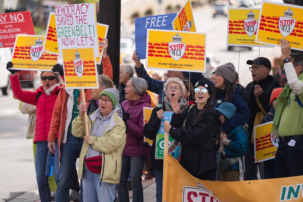
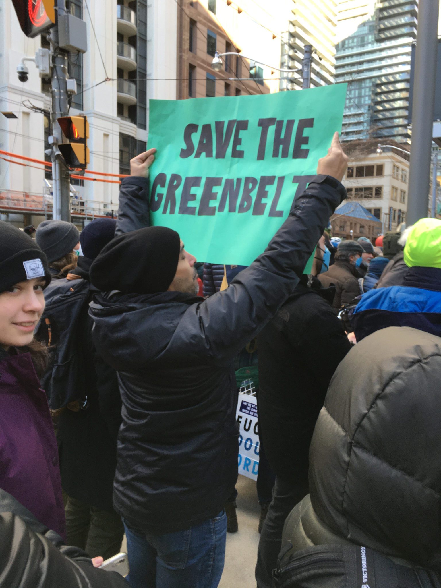
The public is outraged. Municipalities are flabbergasted that they were not consulted as the housing crisis could be solved by fast-tracking applications already in the works with planned and existing infrastructure.
The Rouge National Urban Park and Parks Canada
While protests, letters and petitions have had no effect on Premier Ford to date, Canada has a federal system of government, and the federal government has its own free-standing powers and obligations to protect these vital lands.
Even if the Greenbelt and DRAP had never been established, the federal government’s responsibility for matters like federal species at risk and federal Lands – particularly the RNUP – mean it would be obliged to prevent their destruction.
Parks Canada has described protecting the DRAP lands from residential, commercial or industrial development as “critical to the health and function of Rouge National Urban Park.”
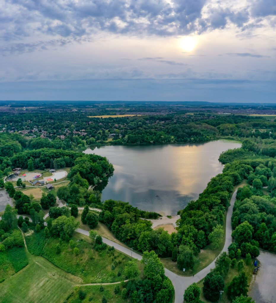
This symbiotic relationship between the DRAP and the RNUP is about much more than the economic viability of the park’s agricultural system if agriculture is pushed out of adjoining lands. Because of the close hydrological and ecological connections between the two, the provincial government’s plan would likely destroy the habitat value of the park for many species.
Parks Canada’s response to Bill 39 expresses concern for the continued viability of the large agricultural system within the RNUP, as well as effects to watersheds, wetlands, endangered species, indigenous connections and biodiversity without the adjacent DRAP lands.
The federal government cannot allow this.
Federal Intervention
January, 2023, Steven Guilbeault, the Federal Minister of the Environment, signaled that – unlike the province – the federal government is likely to fulfill its obligations to protect the DRAP.
He stated that the federal government is concerned about the removal of lands from the Greenbelt and “looking at the potential use of federal tools to stop some of these projects.”
However, federal action is by no means a sure thing: just as they did with the province, real estate investors are almost certainly pressuring your MP to betray Ontarians by letting them replace vital habitat and a key reserve of farmland with generic and car-dependent sprawl.
That’s why it is vital that we reach out to Minister Guilbeault and our federal MPs to let them know we support federal intervention to save the DRAP, the crown jewel of the Greenbelt.
 Bonnie Littley is a co-founder of the Rouge Duffins Greenspace Coalition and former Regional Councillor with the City of Pickering.
Contact: Rougeduffinscoalition@gmail.


